Skip to content
World WandererWorld Traveller
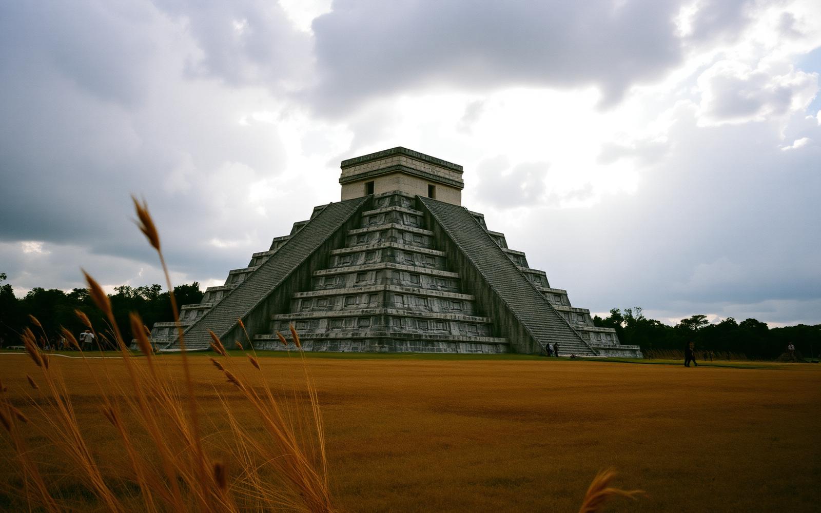
The Pyramid of Kukulkán at Chichén Itzá beneath a cloud-filled sky
← Expeditions archive

From the Pacific to the Atlantic

Mexico and Yucatán · Connecting the Americas

Chichén Itzá, Mexico · Route 03

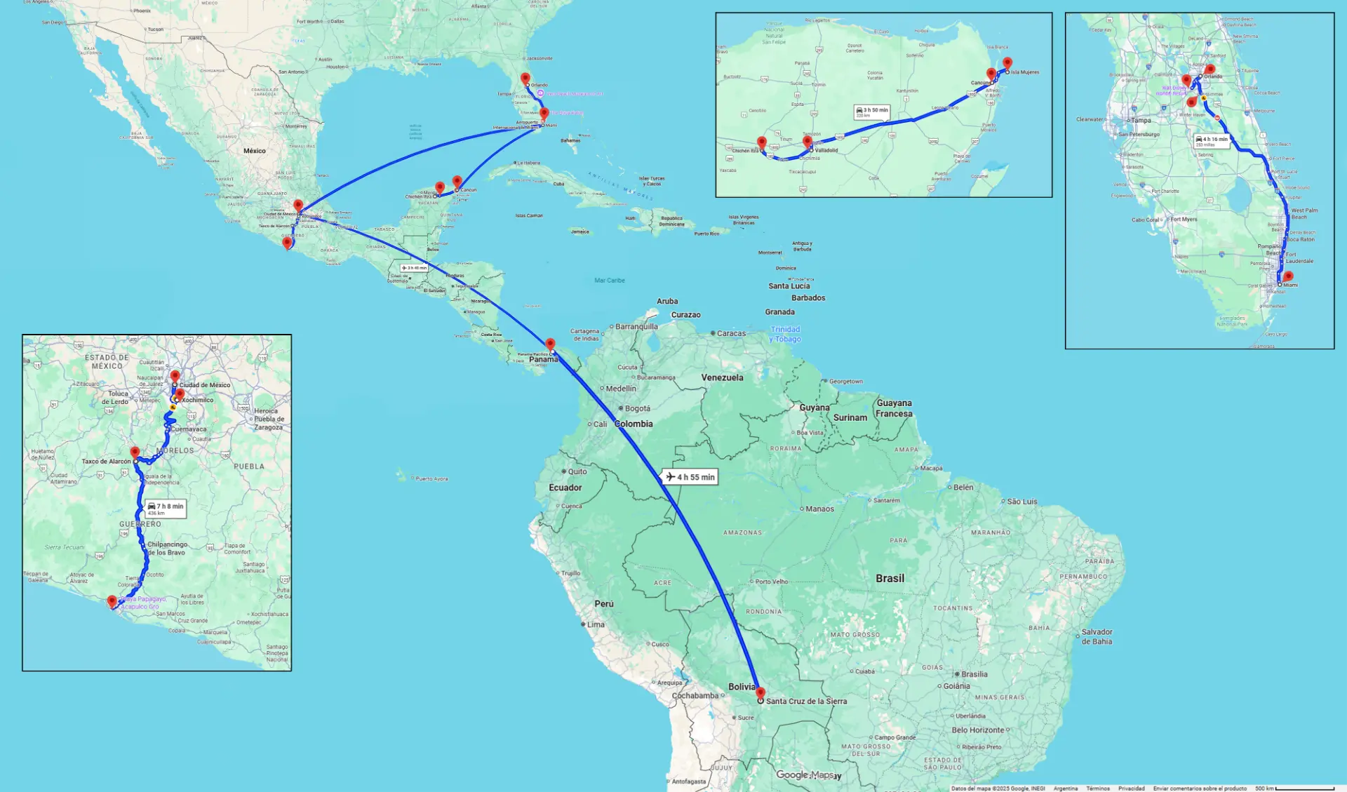
From Buenos Aires to Mexico via Bolivia and Panama: Mexico City and Acapulco, the Florida corridor between Miami and Orlando, and Yucatán with Cancún and Chichén Itzá.

After Mexico City, Taxco and Acapulco, the route turns east: Yucatán, Valladolid and the great plaza at Chichén Itzá, where the Pyramid of Kukulkán measures the year with its own shadow.

Mexico City, the starting pointDocumenttemporary image

The heat is escaped underground. The cenotes open an eye of light in the jungle, and fresh water appears approximately 100 feet below the surface. Later, the Florida corridor and a flight of almost five hours from Panama closed the American arc.

Taxco, among the mountainsLandscapetemporary image
The great plaza at middayLandscapetemporary image

Visual chronicle

Acapulco from aboveLandscapetemporary image
Turning east: the Yucatán roadPersonal presencetemporary image
Valladolid, colonial architectureLandscapetemporary image
Tulum, the Maya coastPersonal presencetemporary image
The Florida corridorLandscapetemporary image
Panama: crossing the isthmusCompanionstemporary image
Panama City's old quarterPersonal presencetemporary image
Santa Cruz de la Sierra, five hours later by airLandscapetemporary image
Close of the American arcLandscapetemporary image

Cartography

Map of the route through Mexico, Yucatán, Florida, Panama and Bolivia
Map of the route through Mexico, Yucatán, Florida, Panama and BoliviaOriginal map retains Spanish and English labels
Next expedition

Nigerian Journey

Nigeria · West Africa · Route 04

Read the journey